Pacific Ocean
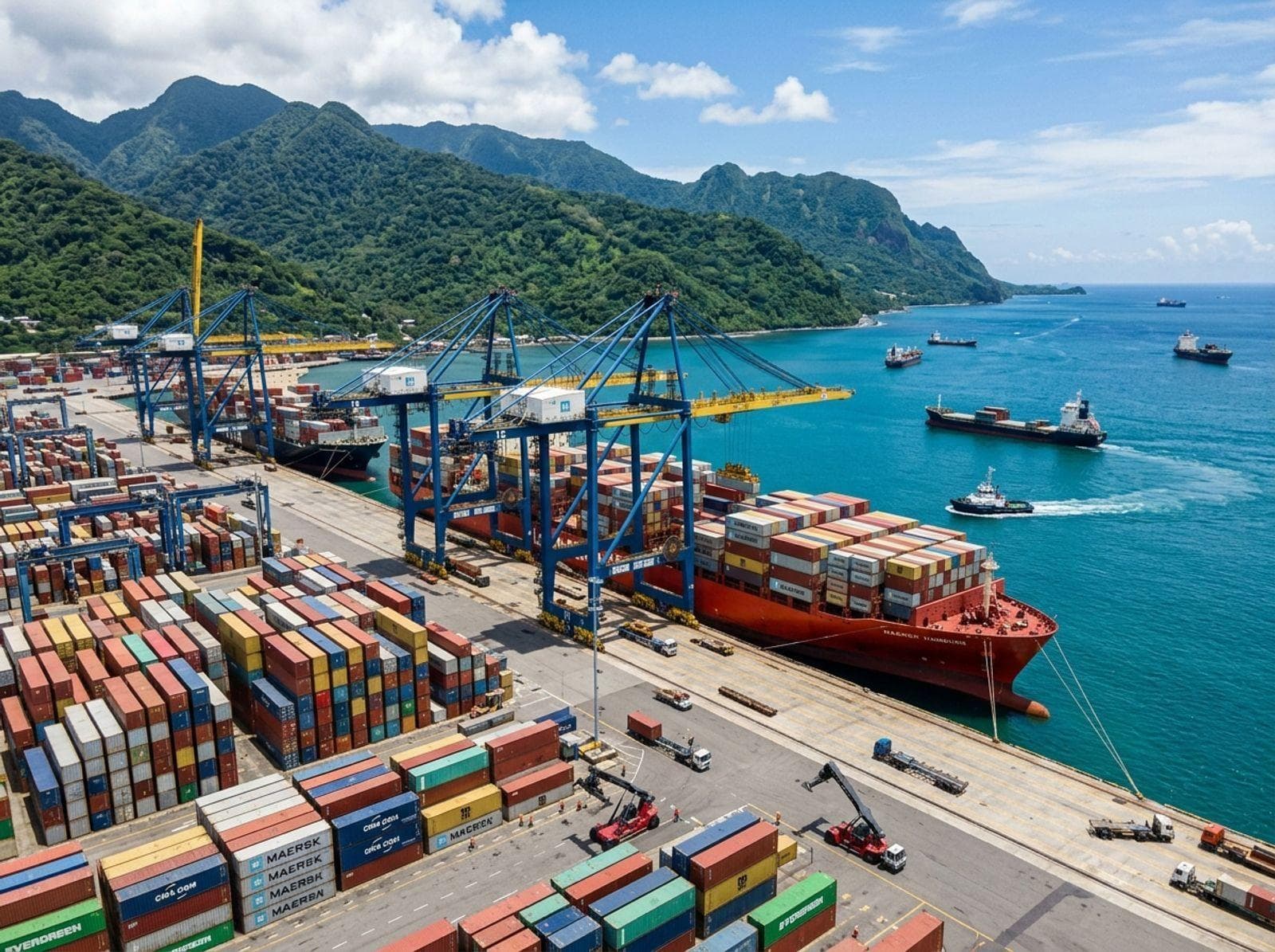
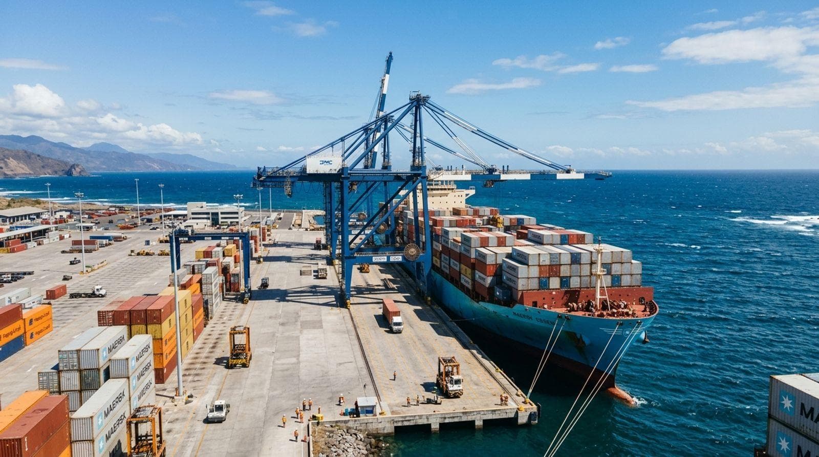
Puerto Quetzal
A principal commercial port and an important gateway for maritime trade on the Pacific side.
Guatemala’s geography connects the country to the Pacific Ocean and the Caribbean Sea, supporting trade, connectivity and maritime activity.
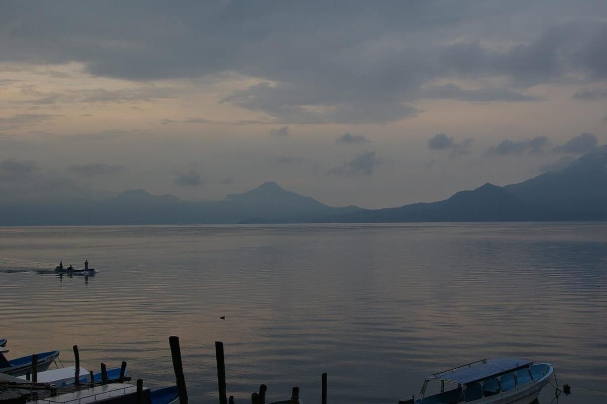
Volcanic highlands · Lago de AtitlánLocated in Central America, Guatemala borders Mexico, Belize, Honduras and El Salvador. Its maritime access extends to the Pacific Ocean and the Caribbean Sea through the Gulf of Honduras.
These two maritime fronts support commercial shipping, fishing, recreational navigation and other maritime activity. The national port system plays an important role in the country’s international connectivity.
Puerto Quetzal, Santo Tomás de Castilla and Puerto Barrios connect the country with regional and international maritime trade routes.
A principal commercial port and an important gateway for maritime trade on the Pacific side.
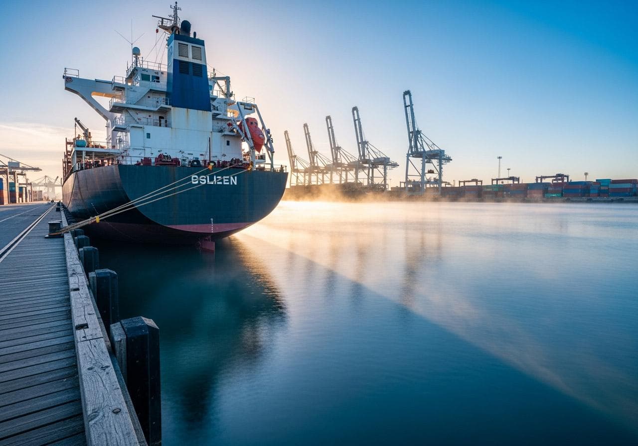
A principal commercial port on Guatemala’s Caribbean side.
A principal port facility within the national Atlantic and Caribbean port system.
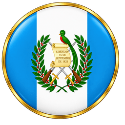
The flag has three vertical bands—light blue, white and light blue—with the national coat of arms centered on the white band. The Quetzal symbolizes freedom. A scroll commemorates independence, accompanied by crossed rifles, crossed swords and laurel branches.
Guatemala is home to a major part of the historical Maya world.
Following the Spanish colonial period, Guatemala became independent from Spain.
Guatemala’s Pacific and Caribbean coastlines connect the country to international shipping routes and regional trade.